桌面ArcGIS包含800多种可在Python脚本中运行的地理处理工具。
通过Python脚本来运行地理处理工具,可以处理复杂的工作和执行批处理任务。
案例一:使用脚本执行地理处理工具(以裁剪为例)
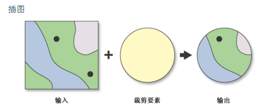

查看帮助文档模仿的代码:
 1 # Name: Clip_Example2.py
 2
 3 # Description: Clip major roads that fall within the study area.
 4
 5
 6 # Import system modules
 7
 8 import arcpy
 9
10 from arcpy import env
11
12
13 # Set workspace
14
15 env.workspace = "F:【the_path_of_grace】ArcpyBook"
16
17
18 # Set local variables
19
20 in_features = "data/CityOfSanAntonio.gdb/Burglary"
21
22 clip_features = "Ch5/EdgewoodSD.shp"
23
24 out_feature_class = "Ch5/ClpBurglary.shp"
25
26 xy_tolerance = ""
27
28
29 # Execute Clip
30
31 arcpy.Clip_analysis(in_features, clip_features, out_feature_class, xy_tolerance)
工作原理:
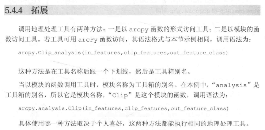
在Python脚本中,可以参照<toolname>_<toolboxalias>语法来调用工具。
注:toolboxalias是工具箱的别名
拓展:
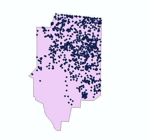
效果图:
案例二:将一个工具的输出作为另一个工具的输入
步骤:①缓冲区分析->②创建要素图层->③按位置选择图层

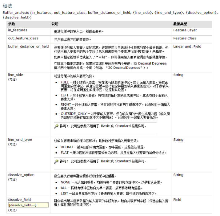
查看帮助文档模仿的代码:
 1 # Import system modules
 2 import arcpy
 3 from arcpy import env
 4
 5 # Set workspace
 6 env.workspace = "F:【the_path_of_grace】ArcpyBookdataTravisCounty"
 7 try:
 8 # Buffer areas of impact around major roads
 9     streams = "Streams.shp"
10     streamsBuffer = "StreamsBuffer"
11     distanceField = "2640 Feet"
12     sideType = "FULL"
13     endType = "ROUND"
14     dissolveType = "ALL"
15     schools2mile = "Schools.shp"
16     schoolsLyrFile = 'Schools2Mile_lyr'
17
18     arcpy.Buffer_analysis(streams, streamsBuffer, distanceField,sideType,endType,dissolveType)
19
20 # First, make a layer from the feature class
21     arcpy.MakeFeatureLayer_management(schools2mile, schoolsLyrFile)
22
23 # Then add a selection to the layer based on location to features in another feature class
24     arcpy.SelectLayerByLocation_management (schoolsLyrFile, "intersect", streamsBuffer)
25 except Exception as e:
26     print e.message
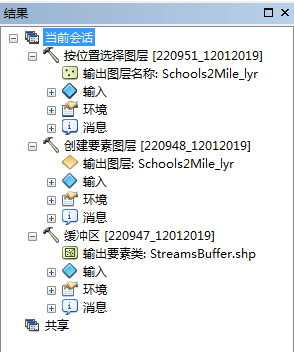
执行过程:
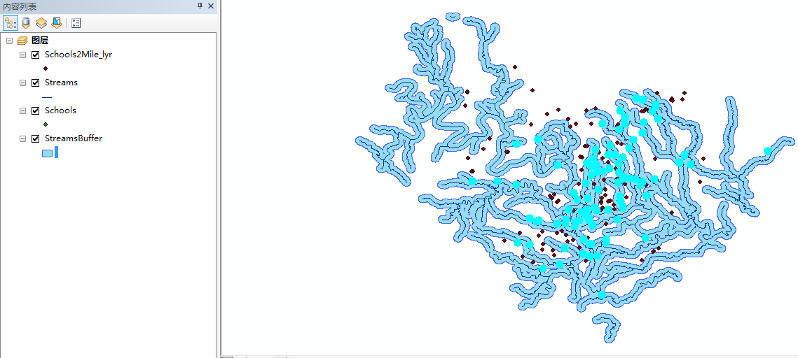
效果图:
谢谢观看!