一,加载wmts服务
以下配置仅限于与天地图层级相同
//比例尺
const matrixIds = [];
      for (let i = 0; i < 20; ++i) {
        matrixIds[i] = {
          identifier: "" + (i + 1),
          // identifier: "" + (i + 1),
          topLeftCorner: new L.LatLng(90, -180)
        };
      }

Layer = new L.TileLayer.WMTS("https://mapservice.tdtah.cn/server1/rest/services"l, {
        layer:"DOM2015",//名称
        style: "default",//样式
        tilematrixSet: config.tilematrixSet,
        format:  "image/png",
        matrixIds: "default",
        attribution: "4490",
      }).addTo(map);
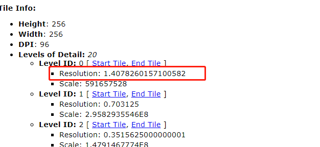
天地图层级级别
二、WFS服务加载
此服务与wmts服务不同 ,返回的是没有样式的数据,类似于geojson数据,用get请求返回数据
url:https://mapservice.tdtah.cn/server1/services/rootline/MapServer/WFSServer
参数:
{
request:"GetFeature",//请求方式
service:"WFS",//服务形式
outputFormat:"GEOJSON",//返回数据格式
typeName:"rootline"
}
查询方式具体参数可参考
https://mapservice.tdtah.cn/server1/rest/services/rootline/MapServer/0/query